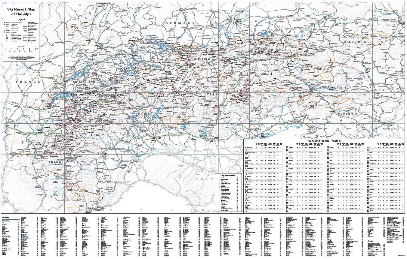
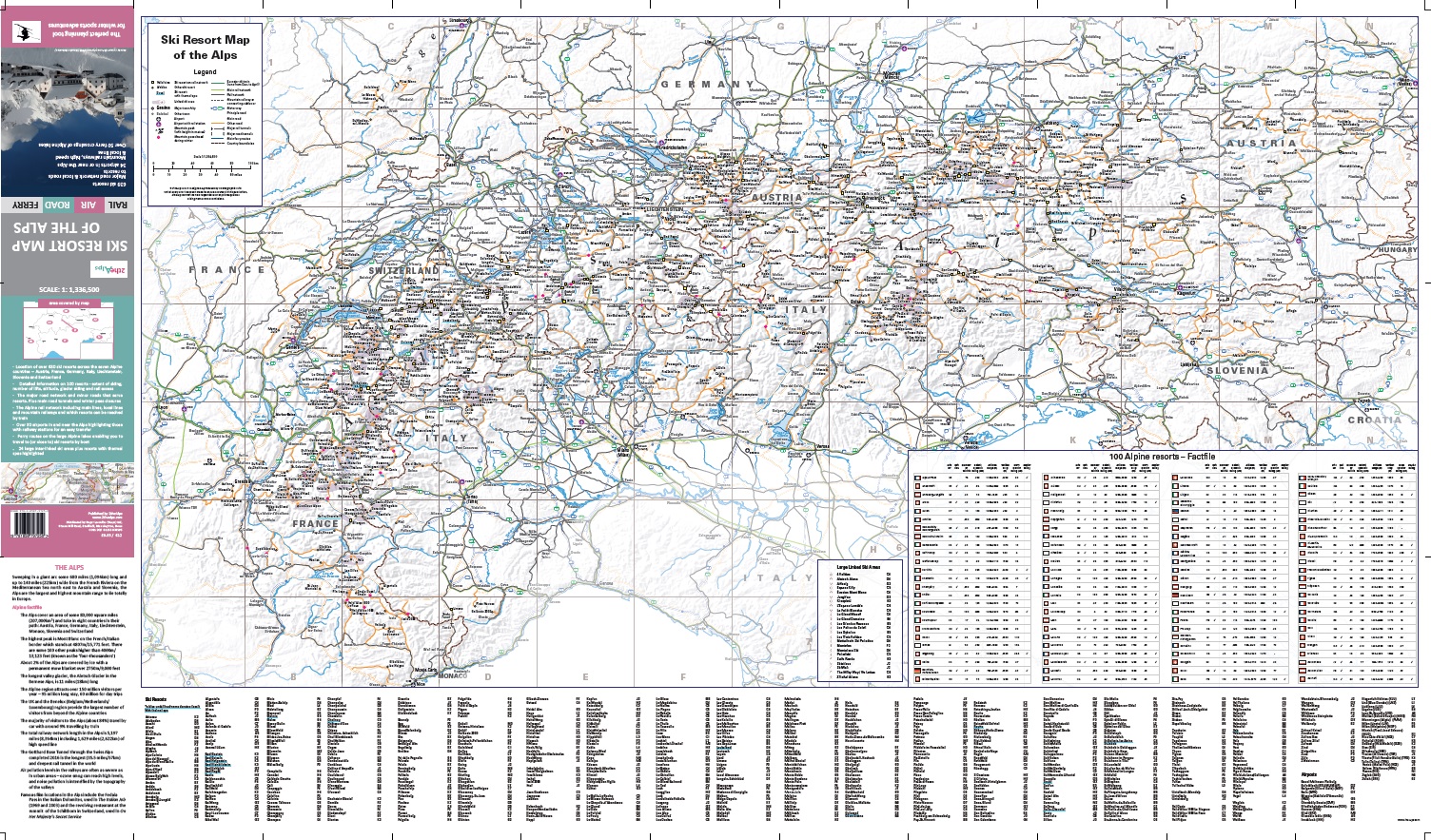
Ski Resort Map of the Alps
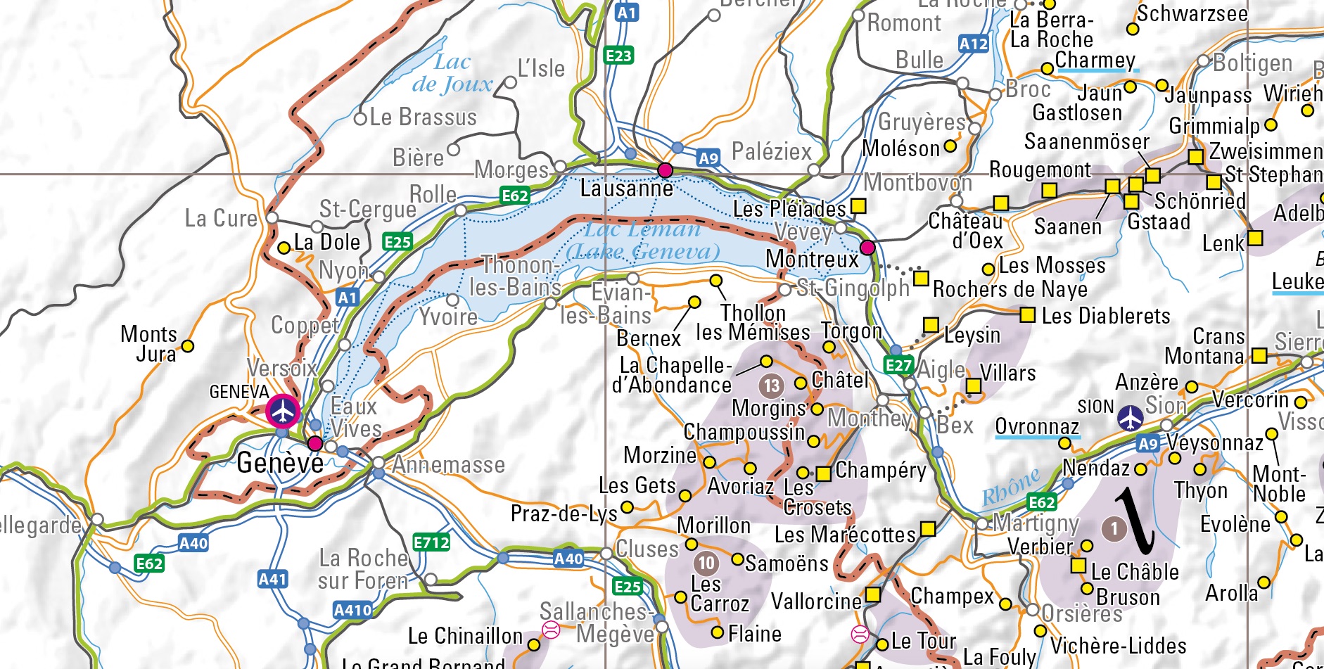
- attractive, clear mapping showing the location of 640 indexed alpine resorts in Austria, France, Germany, Italy, Liechtenstein, Slovenia and Switzerland
- mountain railways, local and high speed lines to help plan transfers from airports, or international travel by train
- Eurostar Ski Train route from St Pancras to the French Alps
- complete network of major roads across the region and minor roads serving resorts
- roads closed for winter shown
- resorts directly accessible by train marked
- large linked ski areas, such as the 3 Valleys and the Portes du Soleil region highlighted and indexed
- main ferry services across the Alpine lakes that take you to, or close to, resorts
- the position of over 30 airports in, or near, the Alps, highlighting those with their own railway station for an easy onward connection
- resorts with thermal spas included and indexed
- extensive information on 100 selected resorts (extent of downhill and cross-country skiing, altitude and vertical drop, number of lifts, availability of glacier skiing, and accessibility by train)
BUY MAP
UK DELIVERY
DELIVERY OUTSIDE UK
The first comprehensive ski-resort focused map of the Alps, showing the positions of 640 resorts, enabling independent travellers to plan their journeys to and through the mountains.
This map is also available in a number of customised versions including a panoramic wall map version, canvas and foam mounted versions and personalised prints.
Published: 1st edition March 2017, 2nd edition February 2024
Scale: 1: 1,336,500
Folded map
ISBN: 978 185879 7250
Sheet size: 1089 x 630mm
Folded size: 210 x 99mm
£10.95 (includes UK shipping)
Paper wall map
ISBN: 978 185879 7267
Sheet size: 990 x 630mm
£19.95 (includes UK shipping)
Encapsulated wall map
ISBN: 978 185879 7274
Sheet size: 990 x 630mm
£28.95 (includes UK shipping)
SPECIAL OFFER: FREE SkiRail Wall Map of the Alps* with every Ski Resort Wall Map of the Alps purchased! (*UK orders only)


